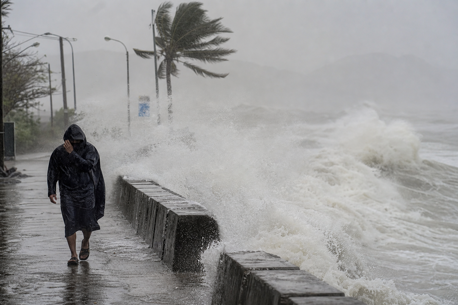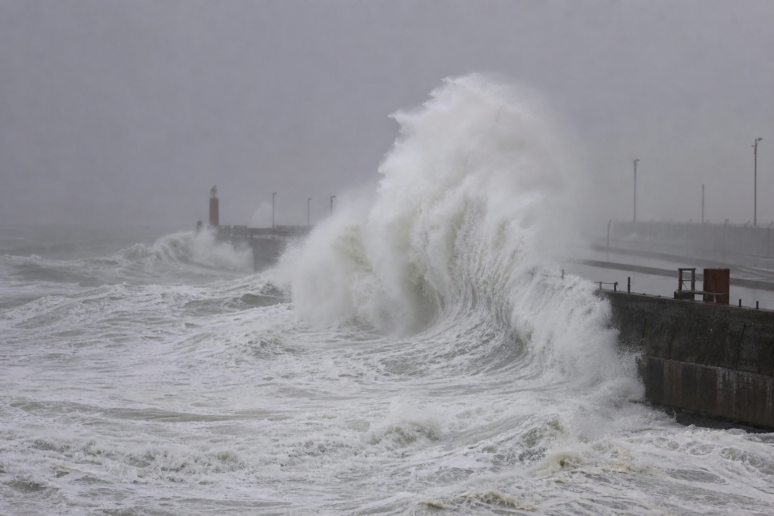
Super Typhoon Ba Vi is generating dangerous conditions across the South China Sea even as it tracks toward China's Fujian coast, well north of Vietnam. Vietnam's National Centre for Hydro-Meteorological Forecasting reported winds of up to 201 km/h at the storm's centre as of the morning of July 9, with gusts exceeding Category 17 strength.
Storm Track and Intensity
At 7 a.m. on July 9, Ba Vi was positioned roughly 810 km from Luzon in the Philippines, approximately 1,100 km from Taiwan, and about 1,400 km from Fujian province. The storm was moving west-northwest at around 20 km/h. Forecasters expect it to pass north of Taiwan on July 10 at roughly Category 15 intensity — sustained winds near 183 km/h — before making landfall on Fujian's eastern coast on the evening of July 11 at Category 13–14 strength.
Divergent Intensity Estimates
Different meteorological agencies are offering varying readings of Ba Vi's power. Japan's Meteorological Agency puts sustained winds at approximately 180 km/h, while Hong Kong's observatory estimates peak winds at 205 km/h, projecting the storm will still carry around 155 km/h upon entering Fujian. Vietnam's own forecasters place the peak at 201 km/h. The spread reflects normal uncertainty at this lead time, but all three agencies agree the typhoon will remain at super-typhoon intensity through its Taiwan passage.
South China Sea Impact
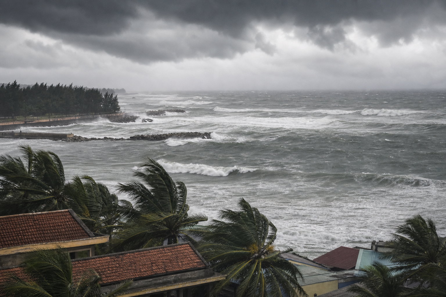
Although Ba Vi is not expected to enter the South China Sea directly, its exceptionally broad circulation is already pushing conditions in Vietnamese waters well beyond seasonal norms. Southwest winds in the southern South China Sea — including the waters around the Spratly Islands — began strengthening to Category 6 from July 9 onward. During the July 9–11 window, the northern, central, and southern sections of the sea, including areas around the Paracel and Spratly island chains, face winds of Category 6–7 and wave heights of 3–5 metres.
Warning for Vessels
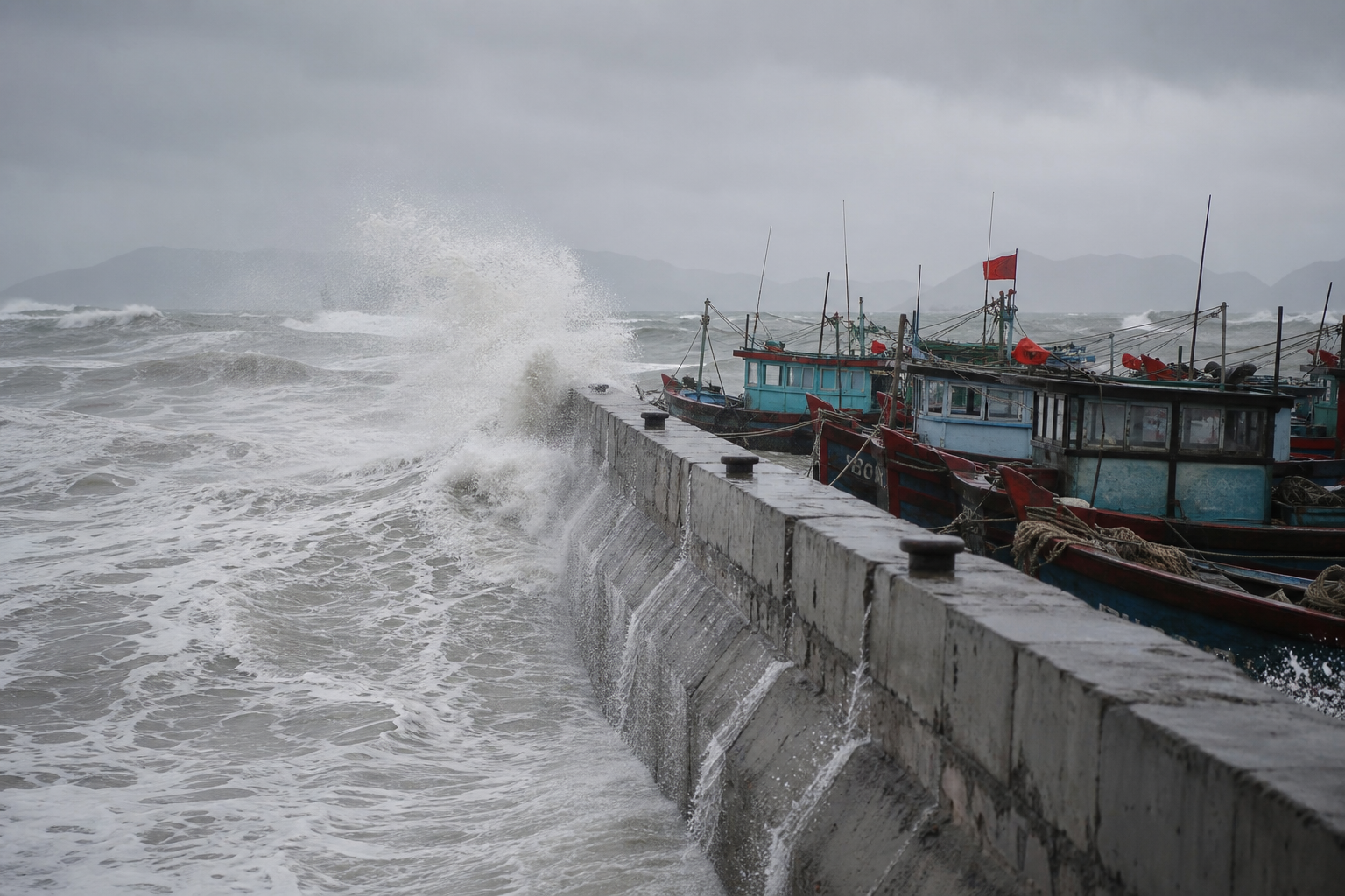
Vietnam's hydro-meteorological authority has advised all vessels operating in affected zones to monitor conditions closely. Fishing boats and cargo ships are urged either to seek safe anchorage or to revise their operating plans. The warning covers a wide arc of Vietnamese-claimed and Vietnamese-used sea lanes that support both the fishing industry and coastal freight movement.
Context Within the 2026 Season
Ba Vi is the third super typhoon to form over the western North Pacific in 2026. Just days earlier, Typhoon Maysak crossed the Gulf of Tonkin on July 4 before making landfall in China's Guangxi province and dissipating overland. Vietnam's forecasters designate July through September as the peak of the 2026 typhoon season, with the total number of storms and tropical depressions in the South China Sea expected to fall near the long-term average.
Outlook
The immediate danger for Vietnamese maritime activity is concentrated in the next 48–72 hours while Ba Vi's outer bands sweep across the sea. Once the storm makes landfall in Fujian and weakens over land, conditions in the South China Sea should gradually ease. Fishers and operators reliant on the Spratlys and Paracels grounds should plan around the disruption and watch for any shifts in the storm's track that could prolong rough conditions.