Ho Chi Minh City is committing roughly 251,400 billion dong — nearly $9.55 billion — to transform its eastern districts into a multimodal transport hub connecting the city center, major seaports, and the future Long Thanh International Airport. The investment spans metro rail, ring roads, expressway upgrades, and dedicated freight corridors, and most projects are either already under construction or scheduled to break ground before the end of 2026.
Why the East Now
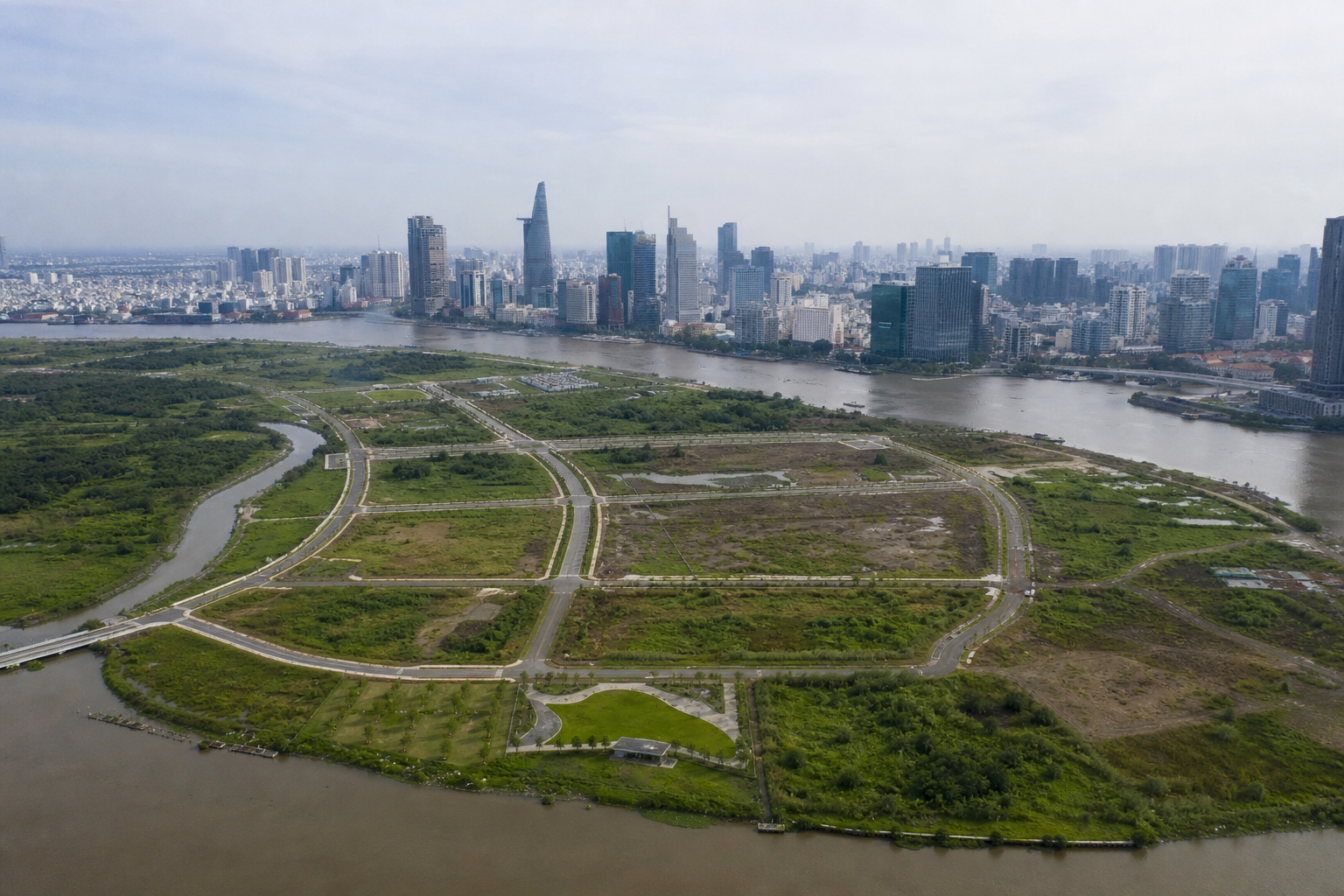
Khu Đông — broadly encompassing Thu Duc City and adjacent eastern districts — holds a strategic position between Ho Chi Minh City's urban core and the fast-growing Southeast region. Once the new Administrative-Political Center at Thu Thiem urban area is completed, the eastern zone will effectively become the public face of central Ho Chi Minh City. Several anchor projects — Ring Road 3, the Ho Chi Minh City–Long Thanh expressway widening, and the An Phu and My Thuy interchanges — are already racing toward completion by late 2025 and early 2027.

Three Metro Lines, One Airport Destination
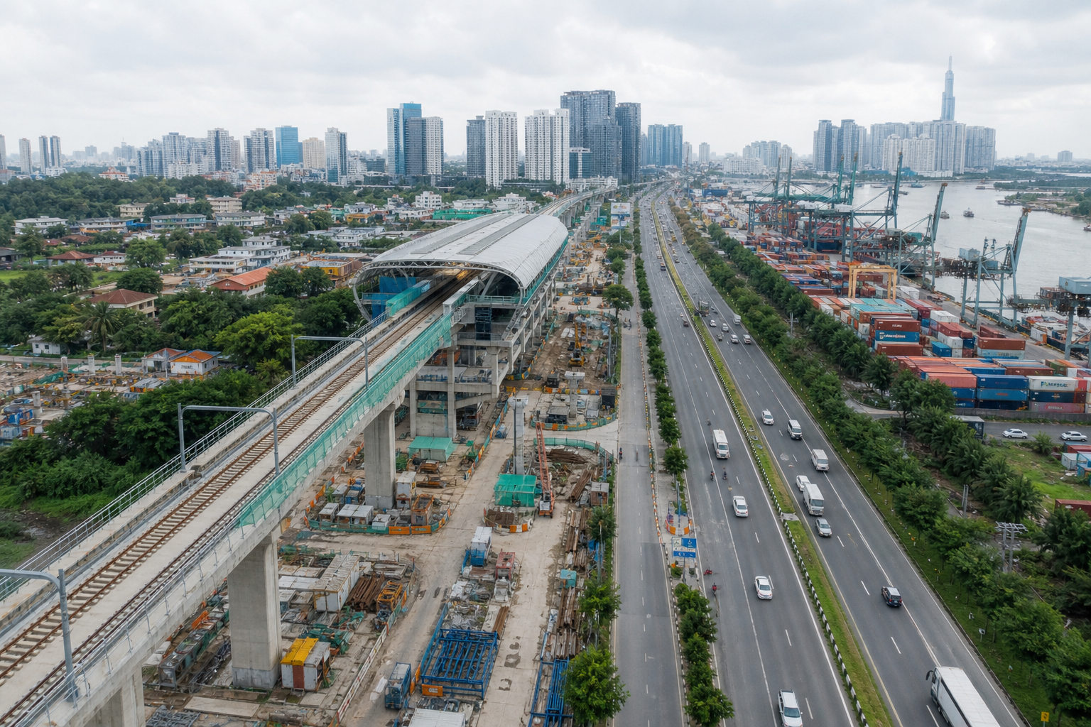
The metro component alone involves three corridors cutting through the eastern zone and ultimately linking to Long Thanh Airport. The Ben Thanh–Thu Thiem line has already broken ground. The Thu Thiem–Long Thanh line and Metro Line 6 Phase 1 (Tan Son Nhat to Phu Huu) are scheduled to begin construction in September and December 2026 respectively.
The rail investment carries an urban-planning logic beyond basic transit. City planners intend to use the station catchment areas as the backbone of transit-oriented development (TOD), creating compact neighborhoods where residents can reach schools, offices, parks, and daily services within a 15-minute walk or cycle. The combined effect of these three lines should cut travel time from the eastern zone to Long Thanh Airport to around 30 minutes.
Clearing the Freight Bottleneck
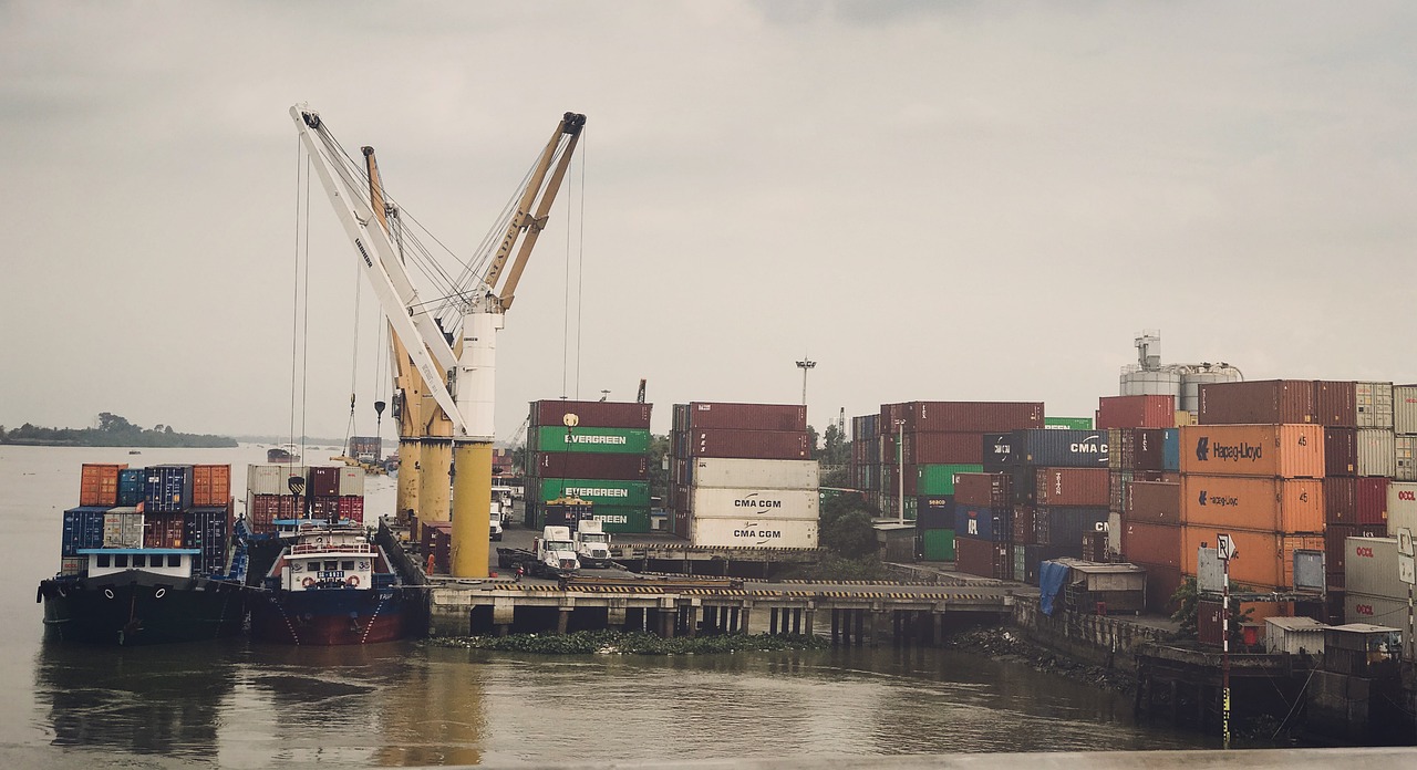
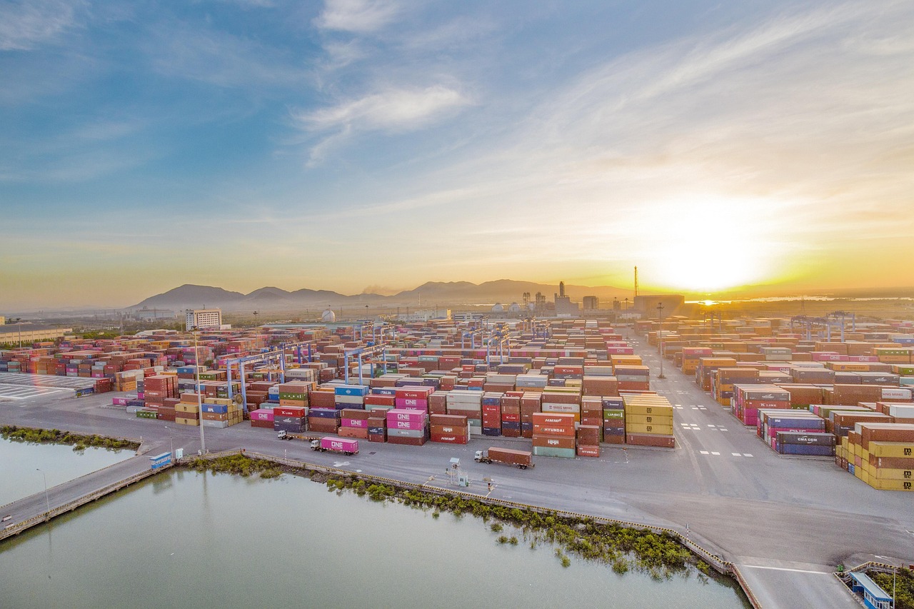
While metro lines address commuter flow, a parallel set of road projects targets the city's most acute logistics pain point: truck access to the Cat Lai–Phu Huu port cluster, which handles a significant share of Vietnam's containerized trade. Currently, freight vehicles from the Tan Van industrial zone and Song Than Industrial Park must wind through urban arteries — Xa Lo Ha Noi, Vo Chi Cong, Mai Chi Tho, Dong Van Cong — routes that are chronically congested and subject to time-of-day restrictions.
Once Ring Road 3 is complete later this year, trucks from Tan Van will need only about 14 km of elevated highway to reach the HLD interchange and then drop down to the port zone via Vo Chi Cong. A further project — the Cat Lai–Phu Huu inter-port road, a 12-lane corridor budgeted at roughly 8,700 billion dong — will add another 5.9 km of dedicated freight lane, creating a nearly 20-km elevated freight corridor that keeps container trucks off city streets entirely. That project is slated to break ground in Q4 2026.
Regional Connectivity, Not Just City Roads
Several projects in the package operate at a regional rather than purely municipal scale. A new 6-lane road linking Xa Lo Ha Noi at the Tram 2 bridge to the Go Cong interchange on Ring Road 3 — budgeted at over 12,400 billion dong — will let vehicles travel from National Highway 1 to Ring Road 3 in just 6 km. When paired with the Long Hung Bridge (Dong Nai 2 Bridge), this creates an entirely new corridor from Xa Lo Ha Noi all the way to National Highway 51 and Long Thanh Airport. Both Ho Chi Minh City and Dong Nai province have already approved the investment policy for their respective sections, signaling coordinated regional planning rather than fragmented city-level action.
Ring Road 2 — three sub-projects spanning Go Dua to Phu Huu — adds another layer by redistributing intra-city traffic, connecting industrial zones and residential areas to the port system, and relieving pressure on Dong Van Cong and Mai Chi Tho roads.
TOD as the Urban Model
The scale of the investment signals a deliberate shift in how Ho Chi Minh City intends to grow. Rather than expanding outward indefinitely, the TOD framework embedded in the metro plan aims to concentrate density around transit nodes, each functioning as a self-contained mixed-use precinct. This approach — already proven in Singapore, Tokyo, and Hong Kong — could meaningfully raise land productivity and reduce the per-capita infrastructure cost of future urban growth in the eastern corridor.
City authorities also plan to study widening Phu My Bridge and upgrading Vo Chi Cong and Nguyen Thi Dinh roads between the My Thuy interchange and Cat Lai, rounding out the arterial network feeding the port and the TOD districts alike.
Investor Takeaway
The $9.55 billion eastern infrastructure program is one of the largest place-based capital commitments Vietnam has announced at the sub-national level. For investors in logistics real estate, industrial land, and urban residential development, the Cat Lai–Phu Huu freight corridor and the three metro alignments define the clearest value corridors: properties within the TOD catchment zones of future stations and land adjacent to the new dedicated freight routes stand to benefit most directly as construction milestones are hit between now and 2027.